
Raja Cepat
Web Dashboard App for expedition and cargo delivery operations. Features real-time tracking and highly accurate integrated courier fleet management.
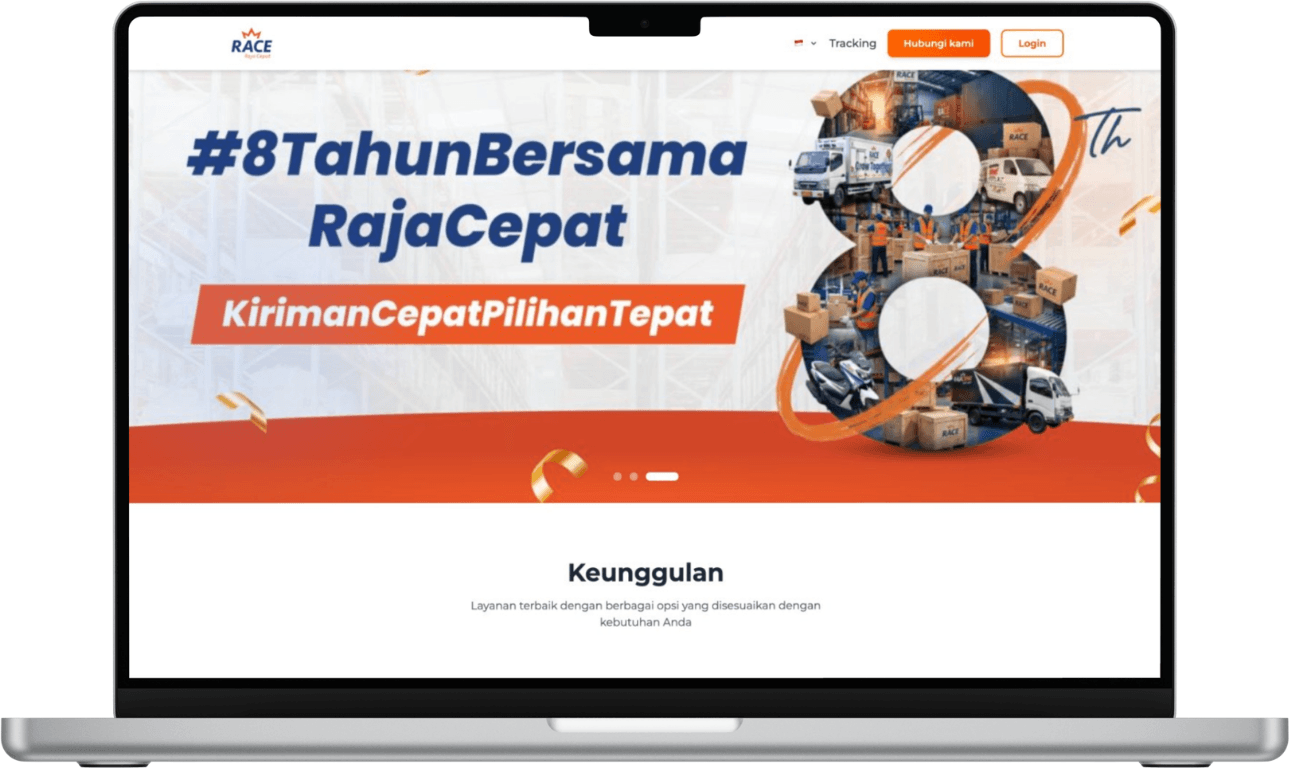
Project Overview
Raja Cepat is a logistics shipping management platform designed to accelerate package sorting, distribution, and tracking processes. With the rising volume of online shopping, delivery companies require a robust internal system to monitor courier locations, assign fleets intelligently, and provide accurate receipt status for recipients. This dashboard application unifies operational data from central warehouses to field couriers through an interactive map interface and automated reporting systems.
Challenges
& Solutions
How we turned complex technical problems into elegant, structured digital solutions.
Presenting live courier tracking visualizations on maps without overloading the admin's browser.
Using WebSockets for real-time coordinate updates with Mapbox GL JS library optimized for rendering efficiency.
Automating delivery area assignments so couriers receive the most efficient package routes possible.
Building a route clustering algorithm based on nearest distance from sorting warehouse coordinates.
Synchronizing status of packages sent by couriers in areas with unstable mobile internet connection.
Applying offline sync queue mechanisms on the courier app using Service Workers.
Workflow
Consultation
Analyzing warehouse inbound/outbound logistics flows and courier operational schemes.
Planning
Designing coordinate tracking database schemas and dashboard map interface wireframes.
Development
Developing the React dashboard integrated with Geolocation APIs and a Node.js backend server.
Quality Assurance
Simulating GPS coordinate load from thousands of virtual couriers to test WebSocket scalability.
Launch & Support
Deploying system to cloud servers and conducting intensive training for operational admins.
Consultation
Analyzing warehouse inbound/outbound logistics flows and courier operational schemes.
Planning
Designing coordinate tracking database schemas and dashboard map interface wireframes.
Development
Developing the React dashboard integrated with Geolocation APIs and a Node.js backend server.
Quality Assurance
Simulating GPS coordinate load from thousands of virtual couriers to test WebSocket scalability.
Launch & Support
Deploying system to cloud servers and conducting intensive training for operational admins.
Screenshots Gallery
A glimpse into the interface and user experience we meticulously designed.
Achieved Results.
Tracking Precision
The real-time waybill system successfully reduced customer complaints about package status by 40%.
Route Optimization
The courier mapping algorithm saves fleet fuel operational costs by 15% every month.
Data Processing Capacity
The backend now handles over 100,000 waybill data synchronizations per day without bottlenecks.
Inspired by this project?
Let's discuss how Zellio can bring your company's digital vision to life.